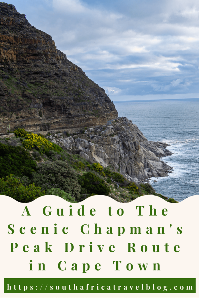
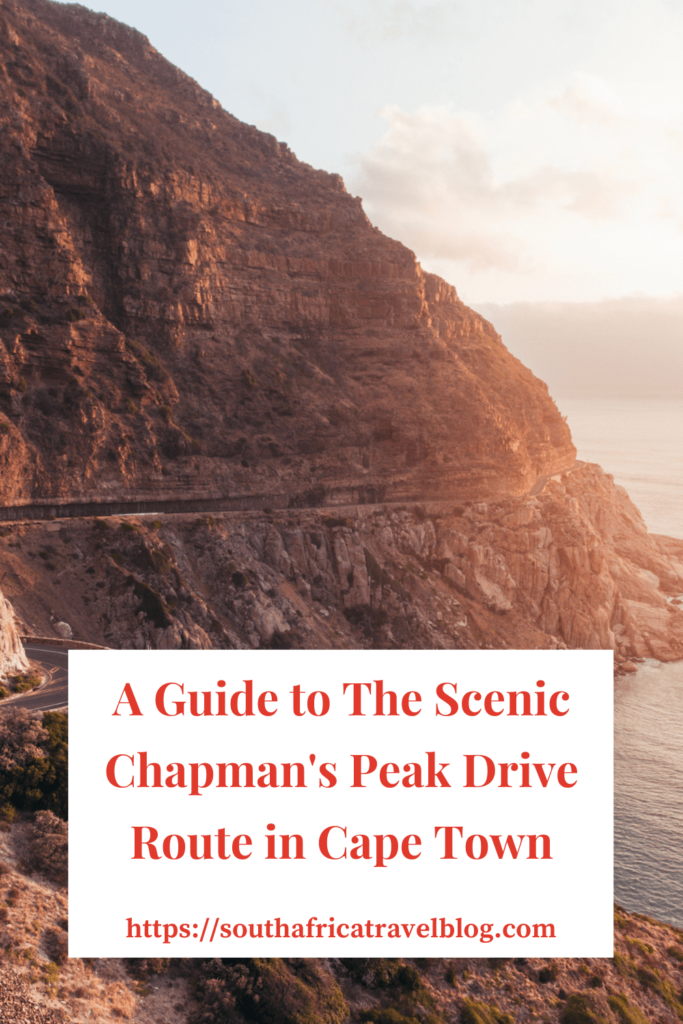
South Africa has a number of the most beautiful drives to do. One must-do scenic drive is the Chapman’s Peak Drive Route in Cape Town. The Chapman’s Peak Route, also known as Chappies, is one of the world’s most dangerous scenic routes to drive because of the possibility of falling rocks from the surrounding steep cliffs. Here, you can learn about Chapman’s Peak Drive Route in Cape Town, including its location, length, history and things to see and do along this beautiful route.
If you like a safer but also spectacular route, try the Clarens Drive between Gordon’s Bay and Stony Point Penguins.
Where Is the Chapman’s Peak Drive Route Located?
The Chapman’s Peak Drive route is in the Western Cape Province. It is located on the Atlantic Coast in Cape Town. The route starts in Hout Bay and ends in Noordhoek near the Table Mountain National Park in southern Cape Town.
Chapman’s Peak Drive is a road that hugs the almost-vertical face of Chapman’s Peak, the 593-metre-high southern extension of Constantia Berg.
If you drive from Cape Town’s city to Noordhoek, you have the sharp cliffs into the Atlantic Ocean on your right and the steep mountains on your left. There are several stopping points along the route to take pictures and admire the area’s natural beauty.
Not sure if you should visit Johannesburg or Cape Town – here’s how to decide!
How Long Is the Chapmans Peak Drive Route?
Chapman’s Peak is a 9 km route from its beginning in Hout Bay to the end in Noordhoek. It has many twists and turns, with about 114 curves.
From Hout Bay, the route climbs to Chapman’s Point for a panoramic view of the beaches below. When the route reaches Noordhoek, it levels out again.
How Long Does It Take to Drive Chapman’s Peak Drive?
If you drive the route without stopping anywhere, it will take you between 20 and 25 minutes. The maximum speed limit is 40 km per hour, as it is best to drive the route slowly and carefully because of its many curves. Some days you will find the route quite crowded and drive even slower than this. Slowly driving it also allows you to appreciate the scenery surrounding the route. Stopping at multiple viewpoints to enjoy the route and the surrounding areas is best.
Make sure only to stop at the viewpoints. The road is narrow, and there is no parking space, even beyond the yellow lines.

How to Experience the Chapman’s Peak Drive Route in Cape Town?
The easiest way to experience the route is to drive it yourself. If you are visiting Cape Town and don’t have a car, we recommend Rental Cars.
Fortunately, other ways exist to experience the Chapman’s Peak Drive Route in Cape Town. Several tours take you on the route. Here are some options:
- From Cape Town: Cape of Good Hope & Penguins Tour
- Cape Peninsula and Penguin Colony Full Day Shared Tour
- Cape Town: Cape Point & Boulders Beach Day Tour
- Hout Bay Tour Boat Trip to Seal Island and drive up Chapmans Peak
- Cape Point Chapman’s Peak Drive Penguins Full Day Tour + Wine Tasting
You can also arrange a private tour to give you more flexibility about stops. Here are the ones we recommend:
- Cape Town: Private Full-Day Cape of Good Hope Tour
- Table Mountain, Boulder’s Penguins & Cape Point Private Tour from Cape Town
Is the Chapman’s Peak Drive Worth Doing?
Yes! We have done the drive many times. Every time we go to Cape Town, we try to drive Chapman’s Peak Drive. We always enjoy its breathtaking views!

Not only is it one of the most spectacular marine drives with beautiful scenery of the western side of the Cape Peninsula, but it also gives you access to all the sights of Cape Town in the Table Mountain National Park, Fish Hoek, Muizenberg and Simon’s Town.
One of the best views of Chapman’s Peak is from the sky. For a unique experience, consider this helicopter flight taking you over Chapman’s Peak.
From the viewpoints, you can access picnic spots and sometimes even spot a whale! At some points on the route, you may encounter baboons.
For photographers, the scenery is heavenly!
In addition, the engineering used to create this route and make it safe for tourism is admirable.
Here you can find out about the best Cape Town Tours!
When Is the Best Time to Do the Chapman’s Peak Drive?
You can visit Chapman’s Peak Drive any time of the year as long as the route is open. No matter when you visit, you will enjoy spectacular views!
Learn about Cape Town’s weather and which are the best months to visit South Africa!
Things to Do Along Chapman’s Peak Drive Route in Cape Town
When you drive Chapman’s Peak Drive, you have access to a range of things to do in the area.
If you want to stay near Chapman’s Peak Drive to fully enjoy all it offers, consider The Spa House, the Chapmans Peak Beach Hotel or Tintswalo Atlantic. Alternatively, consider staying at one of the best hotels at the V&A Waterfront.
Have a Picnic with A View
There are excellent picnic facilities and viewpoints along Chapman’s Peak Drive. Pack a picnic basket and enjoy the views of beautiful beaches and majestic mountains while relaxing with good food. Try and have a sunset picnic for a romantic experience.
Watch Whales
Many Southern Right Whales visit Cape Town’s coastline yearly from July to November. You may watch whales from one of the many viewpoints along Chapman’s peak drive.
Visit Hout Bay

Hout Bay has over 40 restaurants to experience. Furthermore, it has several antique and art shops to visit. One of the best places to visit in Hout Bay is its Waterfront.
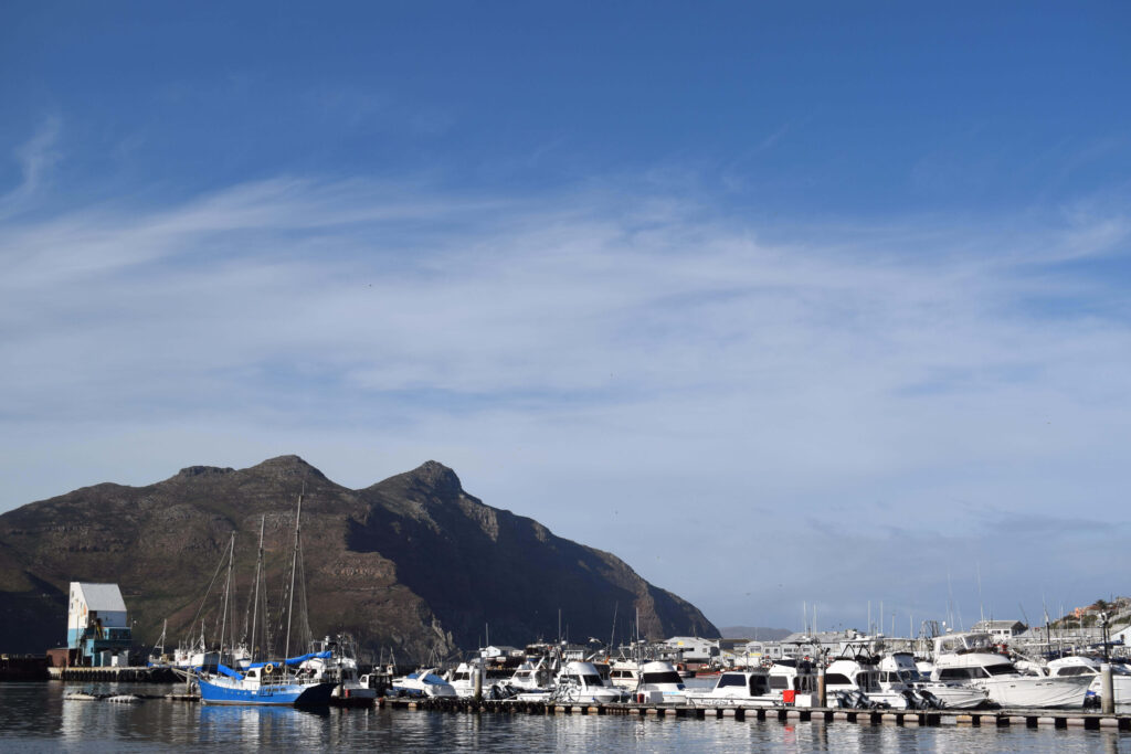
Hout Bay Harbour is an active fishing harbour. Near the harbour, you can find the yacht and powerboat marinas. The Hout Bay Bay is safe for sailing and water sports.
There are multiple hiking routes in the mountains around Hout Bay. If bird watching is your hobby, take advantage of the wetlands around the Disa River for its abundant bird life.
Experience Noordhoek
Noordhoek is a colourful art community village. One of the best things to do in Noordhoek is to ride a horse on Noordhoek beach.
If you like shopping, pay a visit to the Noordhoek Farm Village. Another popular centre for shopping and eating is the Red Herring Trading Post.
There are several vineyards and vegetable farms in Noordhoek.
Indigenous cape fynbos, milkwood, and yellowwood trees are on the mountain slopes.
Explore Table Mountain National Park and the Cape of Good Hope Nature Reserve

Table Mountain National Park is one of the 7 natural wonders of the world. It covers the Cape Town city centre area up to the Cape of Good Hope Nature Reserve.
You can find the Cape of Good Hope area, or the Cape of Storms, at the southwestern tip of Africa. In 1580, Sir Francis Drake called it “The fairest cape in all the world”.
Cape Point is not the most southern point of Africa – here is the real one!
This nature reserve has the Atlantic Ocean’s cold waters on its west and the Indian Ocean’s warm waters on the east.
In this reserve, you can find a range of flora, fauna, and animals such as Eland, the Cape Mountain Zebra and Chacma Baboons.
A must-do activity is taking the funicular or hiking to the lighthouse for stunning views over the False Bay area.
To learn about the animals and plants in the area, visit the Buffelsfontein Visitor Centre.
The reserve is a beautiful spot for surfing, hiking, cycling and picnicking.
Find out more about South Africa’s nature reserves.
Visit Simon’s Town

Simon’s Town is an old naval village near Cape Town.
Simon’s Town’s most famous sight is the Boulders Beach Penguin Colony, where visitors can see African penguins in their natural habitat.
Consider the Half Day Trip to Boulders Beach Penguin Colony to see the penguins and Chapman’s Peak Drive.
You can visit several museums in Simon’s Town, including the Noorul Islam Heritage Museum, the South Africa Naval Museum, the Simon’s Town Museum, the Warrior Toy Museum or the SAS Assegaai Museum. Another well-known landmark is the Just Nuisance statue near Simon’s Town’s Jubilee Square and Jetty.
Enjoy Kalk Bay
Kalk Bay is a fishing village near Simon’s Town. Here you can enjoy some of the best fish and chips at Kalky’s near the Kalk Bay Harbour.
Other sights include Wooley’s Tidal Pool, the Paul B. Dixon Wildlife Studio and Kalk Bay Trading Post.
Read more about Cape Town’s best beaches and the best food tours.
What to Take with You when You Do Chapman’s Peak Drive
The most essential item for a visit to Chapman’s Peak Drive is a camera. Whether you use your cellphone, a DSLR camera or another type of camera, find a way to capture the experience and scenery!
If you plan to picnic or hike, take comfortable walking shoes, sunscreen, a sun hat, sunglasses and a day pack with you for a water bottle and a light jacket.
Practical Information About Chapman’s Peak Drive Route in Cape Town
Here is some helpful information about the Chapman’s Peak drive:
- Chapman’s Peak Drive closes when there is a prospect of severe wind or rain, which may cause landslides. To know if the drive is open, visit the official website of Chapman’s Peak Drive.
- Chapman’s Peak Drive is a toll road. Visitors to Cape Town can purchase a day pass from the hout bay side for use during the day only.
- Clean public toilets are available at the toll Plaza and along the route.
- Along the way, you can use one of three main picnic areas with over 60 picnic tables and benches.
- There are rubbish pins at all viewpoints and picnic spots.
- Surveillance cameras monitor the route’s conditions continuously. In addition, patrols take place regularly.
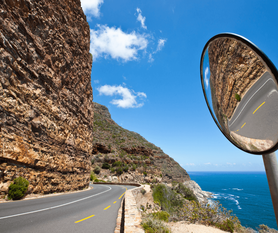
- At sharper curves in the route, blind-spot mirrors are available to spot oncoming traffic.
- Tour buses and longer vehicles may only travel Chapman’s Peak’s Drive in one direction, from Hout Bay to Noordhoek.
The History of Chapman’s Peak Drive in Cape Town
Chapman’s Peak’s Drive’s name is from John Chapman, who was the captain’s mate of a captain of an English ship, the Consent, that becalmed in what we know as Hout Bay in 1607. The captain sent his pilot ashore to look for provisions, and he named the area Chapman’s Chaunce (chance).
If you are interested in history, here is more information about the oldest buildings in Cape Town, including the Cape of Good Hope Castle, and the oldest towns in South Africa.
The Construction of The Chapman’s Peak Drive Route
In the early 1900s, Sir Frederic de Waal, the first administrator of the Cape Province, had a road, the De Waal Drive, built between Cape Town’s city centre and its southern suburbs. After this, he wanted a road between Hout Bay and Noordhoek constructed. They considered two possible routes. The one went over the low nek between the Chapman’s and Noordhoek peaks, and the other was a more spectacular route along the sea cliffs.
The initial surveys of the routes were not favourable and found that the road would be expensive and almost impossible to complete. De Waal wanted to continue the idea and ordered the road to be built along the cliffs.
Chapman’s Peak Drive was carved out of the mountains through the use of convict labour between 1915 and 1922. the total construction cost amounted to ₤20 000.
The first section opened in 1919. The road was officially opened on 6 May 1922 by Prince Arthur of Connaught, the Governor of the Union of South Africa.
In 1962, the road was widened. In 1977, a section washed away. After a significant section washed away, the road closed on 14 May 1977. They had to build a bridge costing R150 000 to fix the road.
Closure of The Road in The 1990s
The route closed in 1994 after falling rocks paralysed Noel Graham. The incident resulted in a lawsuit against the Cape Metropolitan Council, which managed the road then. In 1999, the court found that the Cape Metropolitan Council had been negligent in their maintenance and management of the route. The court dismissed the Cape Metropolitan Council’s appeal, and they had to pay Noel Graham’s claim and costs.
After this, further work on the route and its safety took place. It opened again in 2005 as a toll road. It was closed for a few months in June 2008 because of safety concerns.

Improved safety along the route
In 1997, the South Peninsula Municipality took over road management in Cape Town. They erected warning signs along the route of possible rock falls. In addition, they established a policy in which the route closed in rainy weather until a few hours after the rain stopped when it was considered safe for traffic again. They added booms to make the closure of the route possible.
Closure of the route in the 2000s
On 29 December 1999, a rock fall killed a Noordhoek resident. Then, in January 2000, Ms Lara Callige and her passenger were killed by falling rocks during good weather conditions. This resulted in the closure of Chapman’s Peak Drive.
During this time, devastating mountain fires caused rock galls onto the route, which made driving impossible.
The provincial transport minister closed Chapman’s peak drive officially in January 2000.
Improvements to the route in the early 2000s
The provincial administration’s transport branch obtained recommendations from geotechnical specialists to use “rock barring” (removing loose or dangerous rocks) to make the mountains along Chapman’s Peak Drive safer.
The rock-barring process was slow and expensive. It eventually became part of the Integrated Environmental Management process that aimed to develop a management plan for Chapman’s Peak Drive by mid-2001.
Eventually, many initiatives were proposed to make the road safe, including rock barring, concrete roof protection, catch fences, rock gallery protection, structural repairs, slope stabilisation above and below the road, and road surface and layer work repair.
The proposed initiatives to improve the safety of Chapman’s Peak Drive were expensive. The Provincial Administration Western Cape, now the administrator of roads, implemented a public-private partnership by proclaiming the route a toll road under the western cape provincial toll road act. The toll fees would cover the cost of the proposed safety measures.
The reopening of the route in 2003
After implementing the safety initiatives, Chapman’s peak drive reopened on 20 December 2003.

The new safety measures were tested in July and August 2004 when three intense rainfall incidents occurred. This resulted in debris slides and rockfalls, which damaged the rockfall fences and resulted in Chapman’s Peak Drive closing for 55 days to clear the debris and fix the catch fences.
In June 2008, Chapman’s Peak Drive closed again for significant upgrades and repairs. The route opened on 9 October 2009.
Since then, Chapman’s Peak Drive has remained open. The road is closed temporarily for maintenance and during dangerous weather conditions to protect road users.
